
Rota do Calcário
5 de Agosto, 2021
Rota do Aqueduto
1 de Setembro, 2021
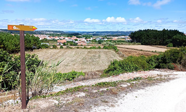
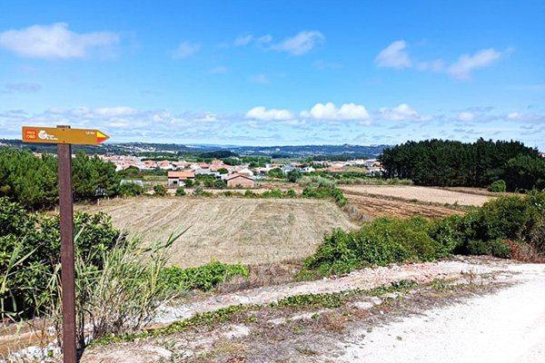
Starting/ending point at Joaquim Justino Marta’s Square, next to the calcareous water spring, the bandstand, the Parish Council and Sagrado Coração de Maria’s Church. The route goes up through the old narrow streets of the historical centre, with houses built-in rocky formations, unique to Cesaredas’ plateau, area were most of the route will develop. Once there, one will find old centenary rocky paths bordered by “dry stone”walls, as the result of land clearing for crop and grass growing. A special remark to the old and unique rocky vineyards. Several spots along the way offer superb views over karst landscapes, Óbidos’ Tifonic Valley with its floodplains full of vegetable farming areas, as well as Cesaredas’ impressive wind park. Going down the plateau, by the millenary paths used by prehistoric populations, agriculture and pasture purposes, one will, then, return to the village, cross again the historical centre and end this route by descending the calcareous spring ́s huge rocky stairway.
Circuit - PR13
Distance: 5,7km, Altimetry: +150mts, Difficulty: level III (medium), Time: 2H
PR13 – links to Furadouro’s Ecovia, several PR’s (Small Routes) of Cesaredas’ plateau - “Old Paths”, “Pedro and Inês Paths”, as well as to the municipalities of Lourinhã and Peniche.
PR13 – links to Furadouro’s Ecovia, several PR’s (Small Routes) of Cesaredas’ plateau - “Old Paths”, “Pedro and Inês Paths”, as well as to the municipalities of Lourinhã and Peniche.


